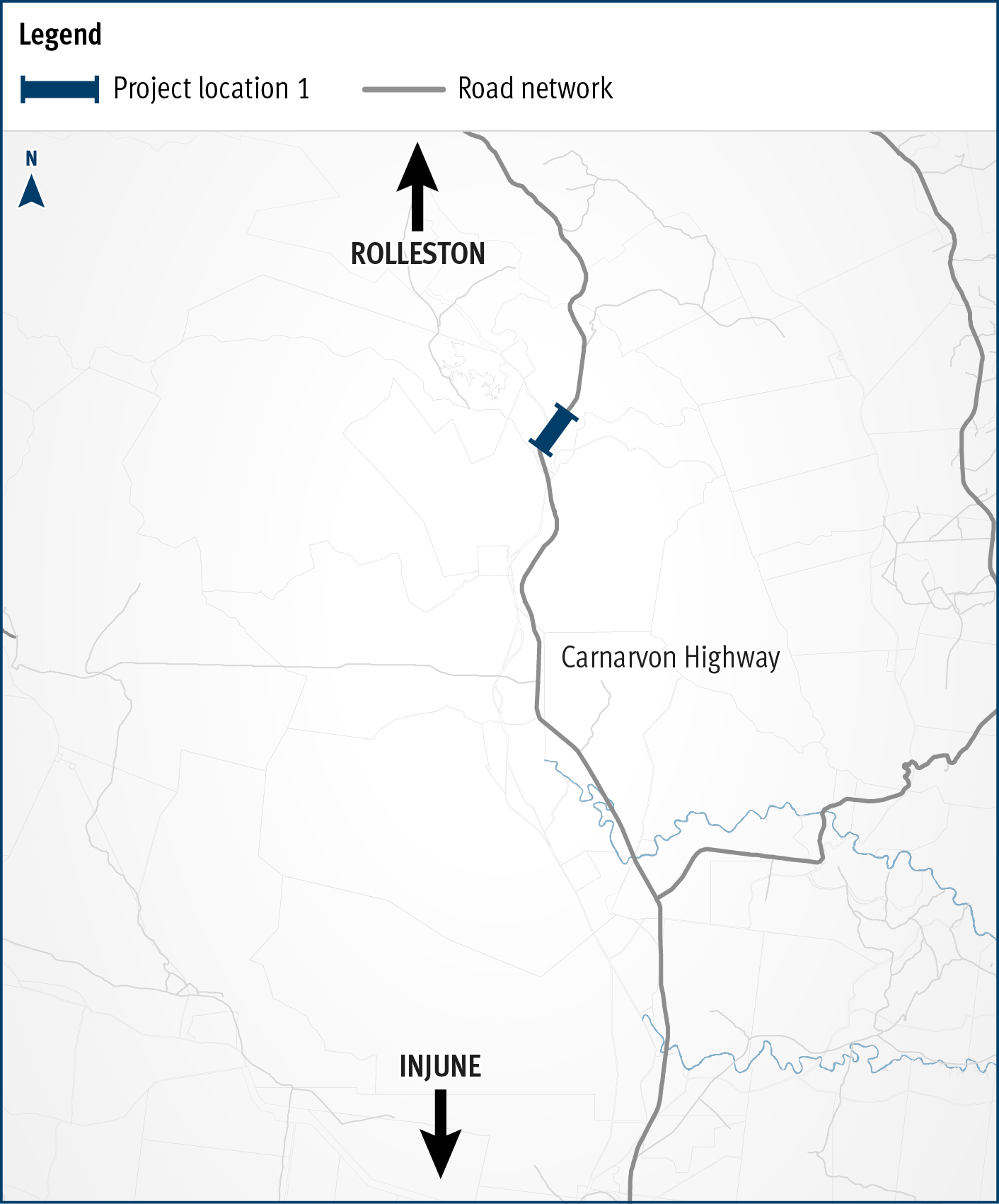
Carnarvon Highway (Injune - Rolleston), Dawson River bridge upgrade
The Carnarvon Highway (Injune - Rolleston), Dawson River bridge upgrade project will improve safety and network efficiencies by realigning the approaches and widening the existing structure...